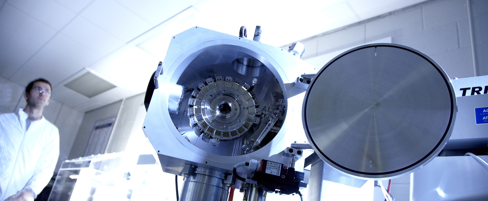
Established in 2006, Durham Terrestrial Laser Scanning facility (DuTLS) is an established centre of excellence for Earth Sciences applications of terrestrial laser-scanning.
Spearheaded by the Department of Earth Sciences in collaboration with University spin-out company Geospatial Research Ltd, the facility underpins fundamental research into the use and application of laser scanning technologies in the Earth Sciences. DuTLS staff members possess a high degree of expertise founded on well-developed collaborative partnerships with laser scanning and survey companies, industrial users and other academic groups.
Currently, the facility comprises 2 scanners:
A RIEGL LMS 420i - consist of a high performance long-range pulsed 3D scanner, associated operating and processing software, and a calibrated and definitively orientated high-resolution digital camera.
A LEICA C10 Scanstation - a pulsed, dual-axis compensated, very high-speed laser scanner, with survey-grade accuracy, range, and field-of-view; integrated camera and laser plummet. It has Onboard control an integrated hard drive for storage and an integrated high-resolution digital camera with zoom video
DuTLS has Trimble 5700 and 5800 Dual-frequency GPS capable of real-time kinematic acquisition, Ashtech Promark 2 & 3 survey GPS receivers and assorted GPS, handheld and tablet PCs that can be used for Digital field Mapping.
People
Director: Prof. Ken McCaffrey
Professor in Earth Sciences
Ken's main research interests lie the study of the architecture and evolution of mountain belts and margins with particular emphasis on the role of basement inheritance. He also investigates the geometrical complexity and temporal evolution of tectonic systems. This work is underpinned by geospatial modelling methods including GIS-based structural analysis and new Digital fieldwork technologies including high spatial resolution laser scanning and 3D visualisation methods. He is Director of the Durham Terrestrial Laser scanning facility, which is equipped with Riegl and Leica laser scanners, Trimble dual frequency GPS receivers and assorted digital mapping gear.
Dr Richard Jones
Research Associate
Managing Director of Geospatial Research Ltd
Richard has developed Geospatial Research Ltd. (GRL) - a spin-out company within the University environment, with a mandate to commercialise innovative methods of acquisition, visualisation and analysis of geospatial data acquired by digital geological mapping and survey. GRL is a vehicle for bilateral Knowledge Transfer between academia and industry and promotes inter-disciplinary research.
Facilities and Equipment
Research equipment facilities located in the department


/prod01/prodbucket01/media/durham-university/departments-/earth-sciences/60228-1998X749.jpg)
