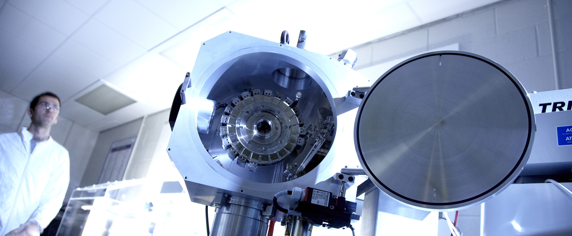
The Sir Kingsley Dunham Earth Visualisation Laboratory provides the department with an advanced data processing and modelling environment in which to solve geoscience data problems. The facility is used extensively for doctorate research work and it provides department-wide support for research-led teaching. Some applications are also made available through the wider university network for integration into undergraduate teaching modules in order to support specialist training and dissertation work using industry-standard software in their 3rd and 4th years
The laboratory is equipped with 9 high specification graphics workstations. High-resolution scanning of maps (up to tabloid size ), thin sections and hand specimens is available along with microscopy/image capture.
Industry-standard software resources includes Petrel Seismic Interpretation (Schlumberger Grants programme), GNS Globe Claritas, Aztec, MATLAB, GlobalMapper and ArcGIS. The laboratory also supports an inventory of limited access applications including AvizoFire, COMSOL, Eclipse, PetroMod, Permedia, Techlog and a wide range of OpenSource or generally available geophysical and Earth Science applications (such as Seismic Unix, GMT, GoogleEarth etc).
Facilities are supported by staff with geophysics and geological backgrounds and considerable specialist IT and data handling experience. We run a seismic data loading, problem solving and management service for researchers. Facilities are driven and guided by academic leaders in their fields and lab staff work as part of Department research teams to forge innovative and efficient data processing solutions.
Facilities and Equipment
Research equipment facilities located in the department


/prod01/prodbucket01/media/durham-university/departments-/earth-sciences/60228-1998X749.jpg)
